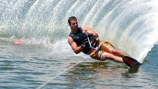
We follow the schedule of mountain excursions for this summer 2021, we are all crazy to get out, leave behind the damn virus containment and go to the mountains to breathe fresh air.
At the end of August, the group formed by the friends of the mountain store plans to climb the Poset in the Pyrenees, an ambitious adventure since it is a high mountain that will require a great effort. As always, we do a lot of research to meticulously plan the climb.
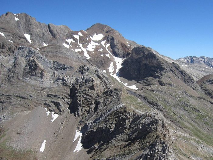
Pico Posets or Punta de Llardana is the second highest peak in the Pyrenees after Aneto. It is located in the Spanish province of Huesca and is 3,369 meters high. And this is the technical documentation we found to plan the route to follow
Location: Central Pyrenees.
Altitude: 3,375 meters.
Unevenness: 1,700 meters.
Time: 5 hours.
Access: Plan.
Starting point: Viadós hut (1,760).
Hut: Viadós (1,760) and Clot (2,000).
Season: July-September.
Cartography: alpine, posets.
Terrain: Forest, stony ground, snowfields and rocks.
Difficulty: high.
Effort: high.
Risk: high.
Equipment: glacier.
The approach as in Gran Bachimala, from Plan by the path to LLanos del Campamento (1,550), taking the branch to the right after the bridge, which climbs steeply to the high point overlooking the Granjas de Viadós. Next to it is the refuge, it is private but of public use. You can also camp there (1,760) (13 km. from Plan).
In less than three hours, the path leads to the foot of Diente de Llardana (which is easier to climb after returning from the summit of Poset). Following the stone slope, we reach the summit after four hours of ascent. The rest of the way is: we go down to the bank of the Zinqueta de Agnes Cruces on the path that runs between the farms, to cross it on a footbridge made of tree trunks. On the other side, a signpost indicates the direction to the Collado de Eriste and the Posets. The path invites us to climb along a stream and we reach the small Cabaña del Clot (2,000).
Continuing the direct ascent, we cross the ridge that descends from Espadas at the edge of the forest and descend slightly to reach the Barranco del Clot ravine. Then begins a steep climb through impassable terrain. After crossing the main stream (2,550), there is a tricky step at a ledge with a waterfall. Continuing on through steep and decomposed terrain, a lateral moraine leads to the frontal moraine of the old glacier (2,900).
Now we enter a rocky area that merges into the upper slope, covered with snowfields and boulders. Once on the ridge (3250), we continue along the ridge or its surroundings until we reach Punta Norte (3325), finally crossing the sharp summit ridge of Posets (3375).
Posets has two other major routes, that of the Estós Valley and that of the Eriste Valley, both of which have sheltered refuges. The descent to the refuge follows the same route and takes about three hours.